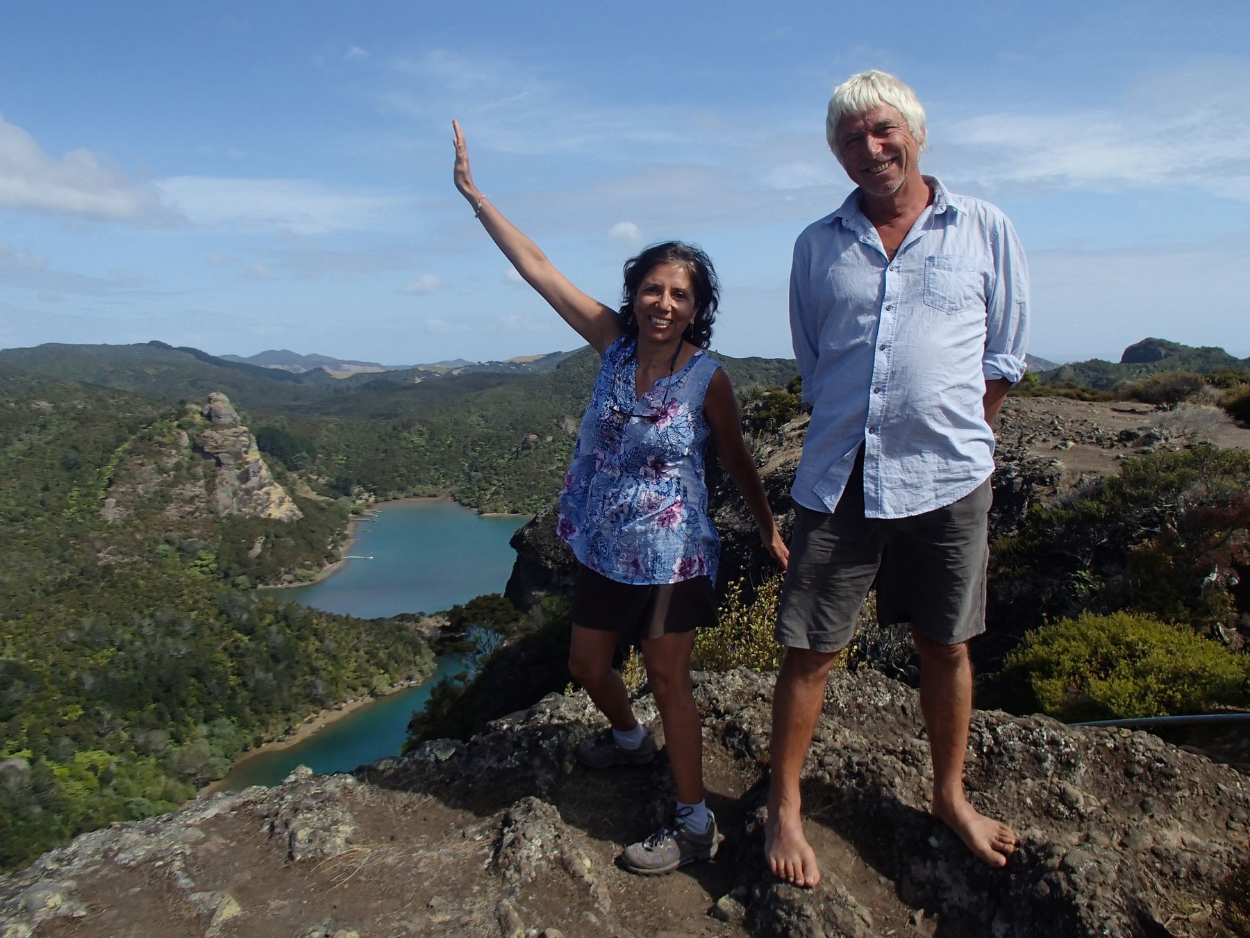
My friend, Ian Costanzo and I have spent several weeks, over the years, cruising together on sailboats. This year we decided to spend a 9 day 'week' visiting Princess Louisa Inlet. We planned to sail up the inlet and attempt to locate and hike the path up to a plateau above the inlet that I had read about in the 'Curve of Time'. Thanks to Ian for joining me on this trip and for providing some of the photos below.
 |
| Motoring up Jervis Inlet |
We sailed from Maple Bay on 'Swamp Angel' our 1968 Nicholson 32, reaching Nanaimo the first day. Here, we warmed up for our potential hike by walking a circuit of Newcastle island. The next day we pushed all the way across the Strait of Georgia, beating into 15 to 20 knot headwinds and then motoring into Jervis inlet to the Harmony Islands. Day 3 was a motor to the head of Princess Louisa inlet 40 miles away, stopping en route for some kayaking at Soda Falls. At Princess Louisa Inlet, we anchored just to the left of the falls with a stern tie to an enormous boulder.
 |
| Ian kayaking at Soda Falls in Jervis Inlet - we took turns playing in the surfy water, letting Swamp Angel drift off the falls. |
 |
| Swamp Angel at anchor in Princess Louisa Inlet next to Chatterbox falls. |
 |
| Kayaking at Chatterbox falls - photo by Ian |
On day 4 we climbed up to the Trapper's cabin where Rani and I had hiked a few years ago. On that occasion we were literally soaked to the skin and waterlogged by the time we descended. This time, we were grateful to have sunny weather. We made sure to leave very early because we hoped to reach the 6000 foot summit plateau and return in one day. From the trapper's cabin we crossed the stream, taking off our boots and traversed a short way south until we reached another stream. Here we got off trail for about 40 minutes, following, by mistake fall line flagging tape. We retraced our steps and found a roped route up a rock face where someone had pulled the rope up and tied it to a tree at the top. I climbed up and dropped the rope and we donned our packs and ascended beside the rock face.
 |
| Rooty climb - photo by Ian |
 |
| Letting down the rope to assist in the climb - photo by Ian |
From the top of the rock the trail crossed another 2 creeks ascending fairly steeply to another rock face where again we lost the trail for a few minutes. Turning left at the rock face, we dropped down to a 4th creek at somewhere around 3000 feet elevation, where we climbed through a cave (using a provided rope) and on up the creek bed to a further wooded ascent. The mosquitos got gradually worse as we ascended and we stopped to Deet up.
 |
| Ian looks back at the falls by the Trapper's cabin |
 |
| View from about 3000 feet where we came out into the 4th creek bed. Princess Louisa inlet is just visible from here but hidden behind Ian's back |
At the top of this ascent we found the north traverse we had read about in one of the blogs. Here was a nice level walk through woods and by tarns where we encountered the only really muddy section of the trail.
 |
| Walking along the north traverse - photo by Ian |
The trail climbed a bit further until we reached a ridge with fantastic views to the north and west. We entered a snow filled gully, which in a week or two would probably have been clear of snow. Near the end of the gully, a clear path dropped down to the north to a campsite and our lunch spot at somewhere around 4000 feet elevation. This overlooked a couple of small lakes that were still choked with snow and ice.
 |
| Climbing up the snow filled gully - the trail is under the snow here. |
 |
| Photo from the lunch spot showing the base of the climb to the plateau we reached after lunch and the actual summit plateau to the upper left. |
 |
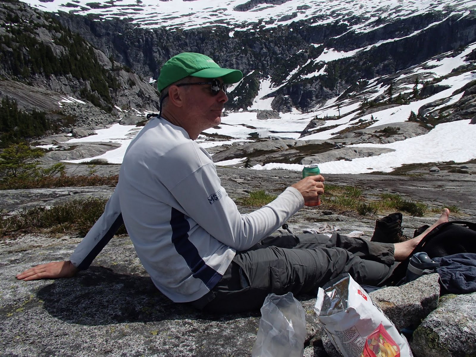
| Enjoying a much deserved beer |
 |
| Panorama above lakes near lunch spot |
After a break for a much deserved beer and hummus and veggies we climbed back up and continued off trail up the gully and onto a series of rocky slabs and snow filled depressions. We reached about 5000 feet where we came out onto a plateau facing back down Princess Louisa inlet. I left Ian to enjoy the view and nurse a sore knee and climbed up to a local height for a panoramic view at about 5300 feet. We would not have time or energy to reach the final summit plateau above, which would have required slogging over snow filled dips and across rocky slabs.
 |
| Climbing up to the plateau |
 |
| On the plateau - photo by Ian |
 |
| View back to Princess Louisa Inlet. Our boat is the small white dot at the lowest point of water. |
 |
| Panorama from the highest point reached |
 |
| Panorama from the lower plateau - photo by Ian |
We returned to the trail by retracing our steps and came across a party of 4 younger people off a small sailboat who intended to camp out above the lakes. They were surprised we were making a day trip of it, but I think that they likely had a harder time of it than we did with their heavier packs, even spread over 2 days.
 |
| Steep but manageable with the provided rope |
 |
| Most of the trail is in the woods - this section was beside some lovely massive mossy rock bluffs |
The descent was steep but manageable and we reached the boat in time for a late swim in the chilly ice cooled waters below the falls.
 |
| I guess we should have read the sign before we went up! - photo by Ian |
 |
| GPS track of the route - the red mark is roughly where the first rope climb is found, top right is our lunch spot near the lakes and far right is the highest point reached. |


